5VH Trail Run
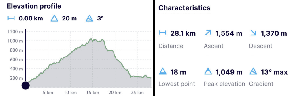
The 5VH Trail Run is set to take place on August 8th, 2026. The route spans approximately 28 km, starting in Skógar and ending at Volcano Huts in Húsadalur, Þórsmörk. Participants will encounter an ascent of about 1,500 meters, followed by a similarly steep descent.
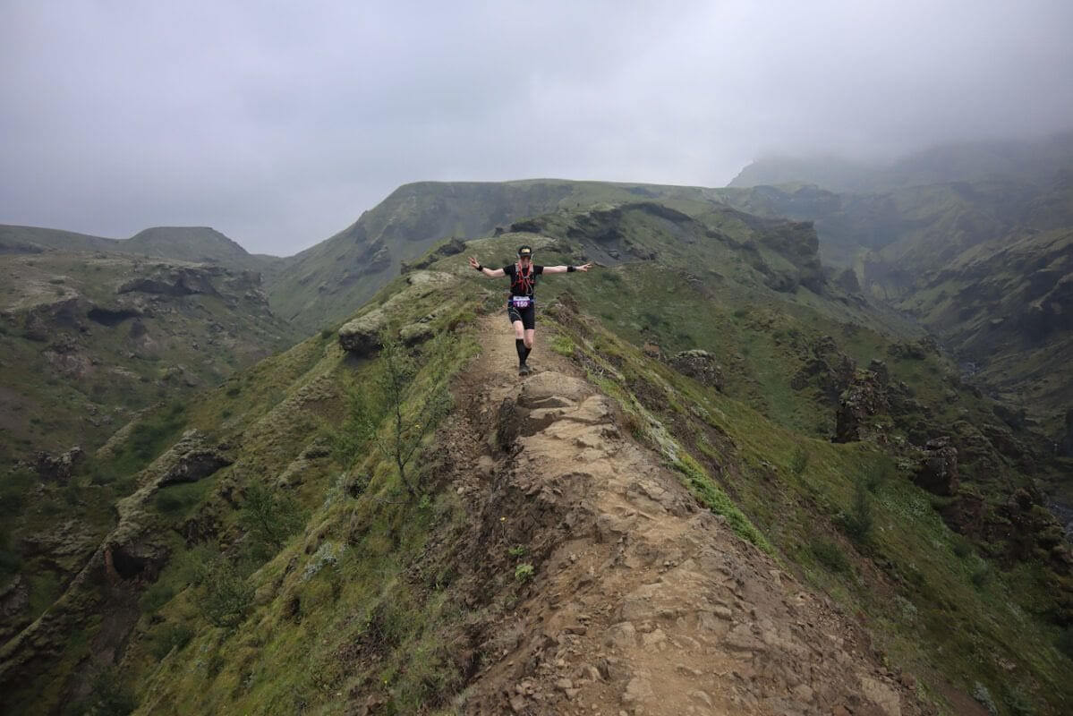
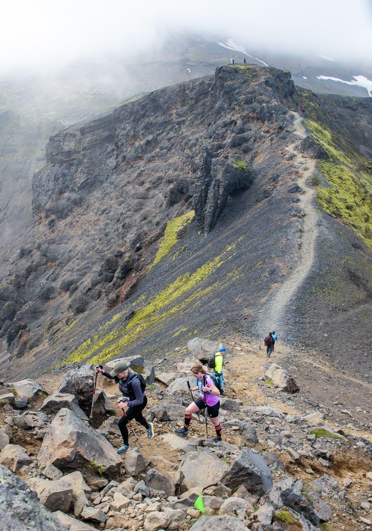
Cat Ridgee and fear of air
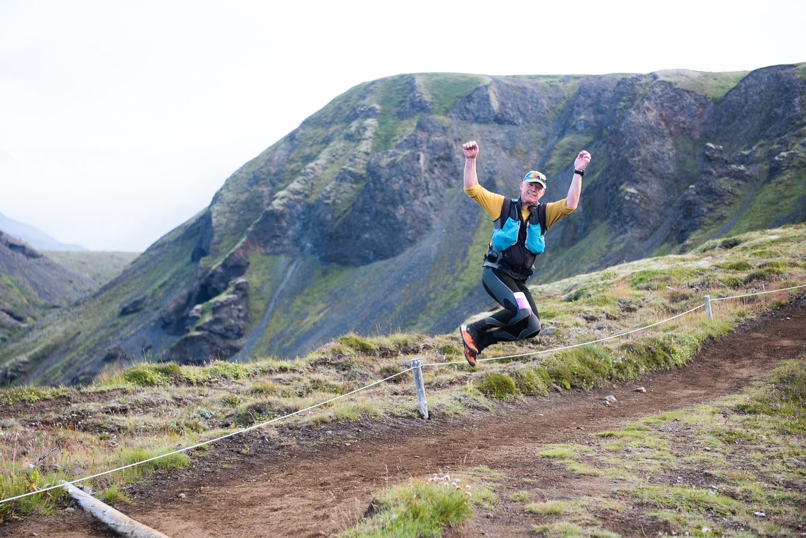
However, it is quite steep on both sides and the competitors have to show extra care and caution on this section. It is not allowed to overtake in this area and it should be kept in mind that some people may be afraid of the air in these conditions.
The Run takes place in the highland.
Gorgeous Scenery
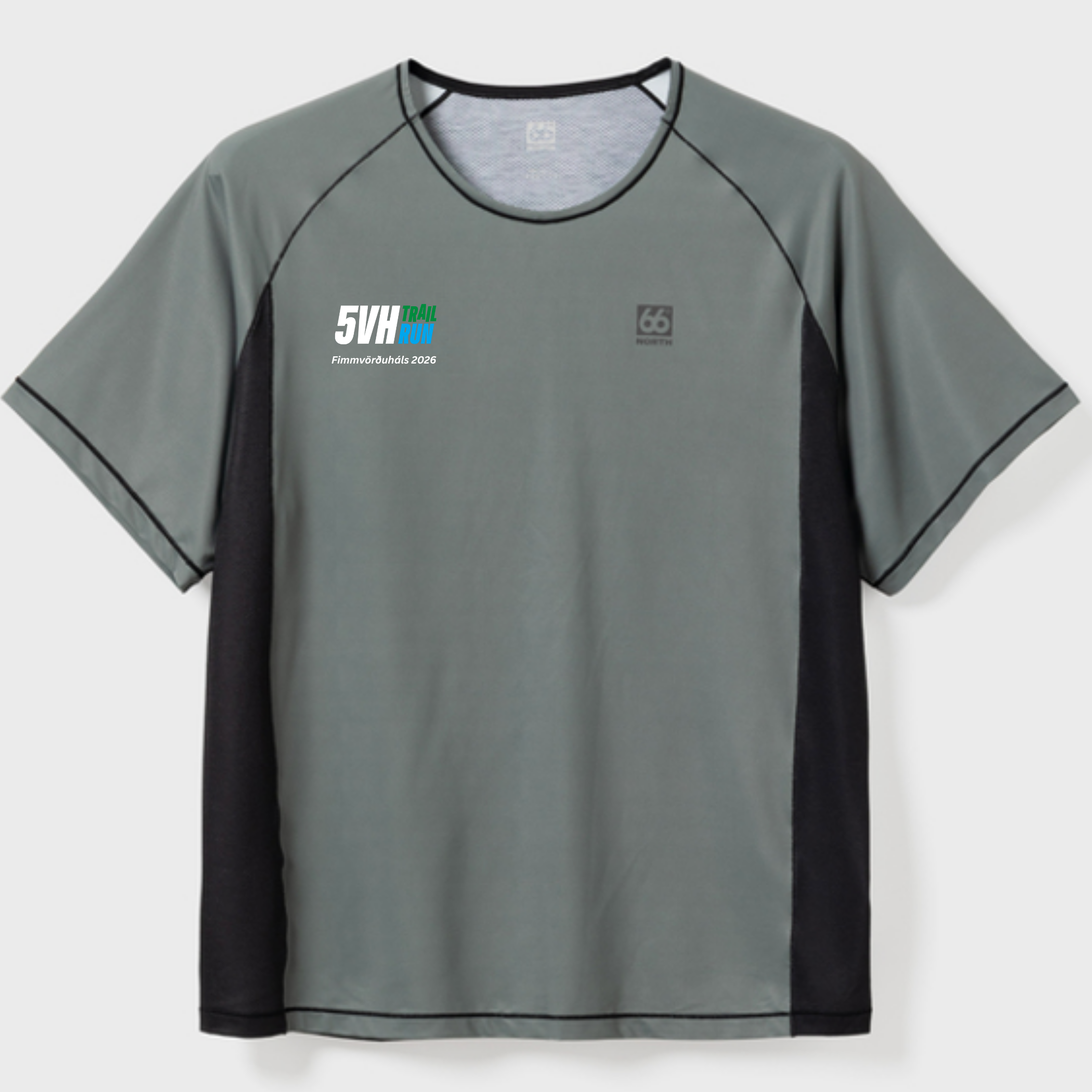
This year, the Helgafell shirt from 66°North's new running line is available in a beautiful Glacial Clay color for only 6,000 ISK.
Bus options will also be available at registration. Please see Transportation tap.
We offer the following options for transportation:
Most Cost-Effective: Purchase a seat on the official race bus, which provides round-trip transportation from Reykjavík to the start line and back.
Alternative Option: Leave your rental car at the starting line in Skógar. At the end of the race, you can purchase a ride on a shuttle back to Skógar.
Spectators can buy the roundtrip from Reykjavík which includes the ride from from the start to the finish or purchase the roundtrip from Skógar (the start).
Tab Content
Race Route from Skógar to Volcano HUTS
Click on the button below to download the GPS file.
Please be advised: The route can change slightly between years, so always follow the markings rather than the gps.
Rules
By enrolling in the race, participants commit to:
Ferðir í boði
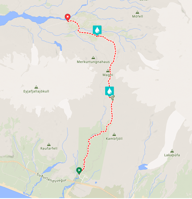
About The Route
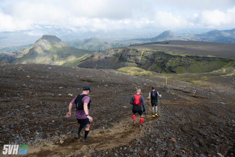
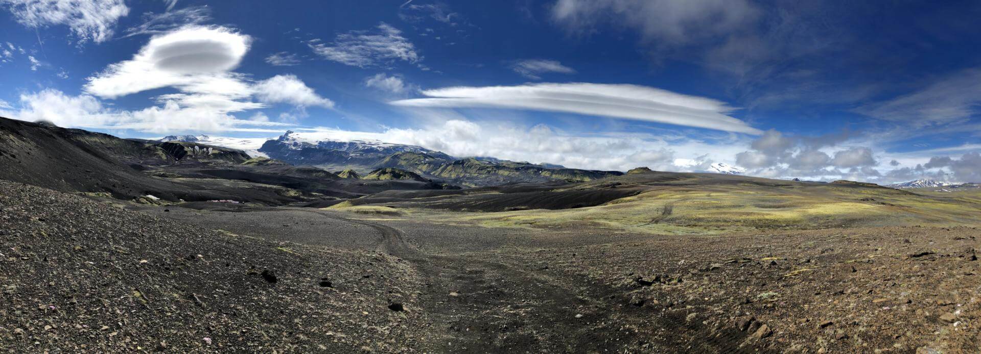
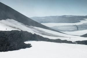
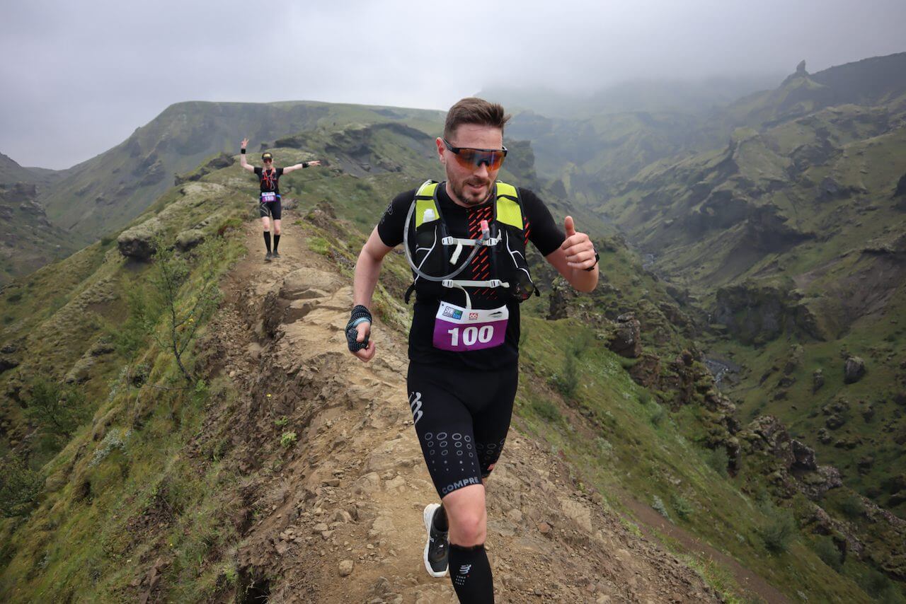
The Fimmvörðuháls hiking route is one of the most beautiful and popular trails in Iceland, renowned for its stunning scenery and variety. It also serves as a favored trail running route, and it’s easy to see why—it showcases some of the best natural wonders Iceland has to offer.
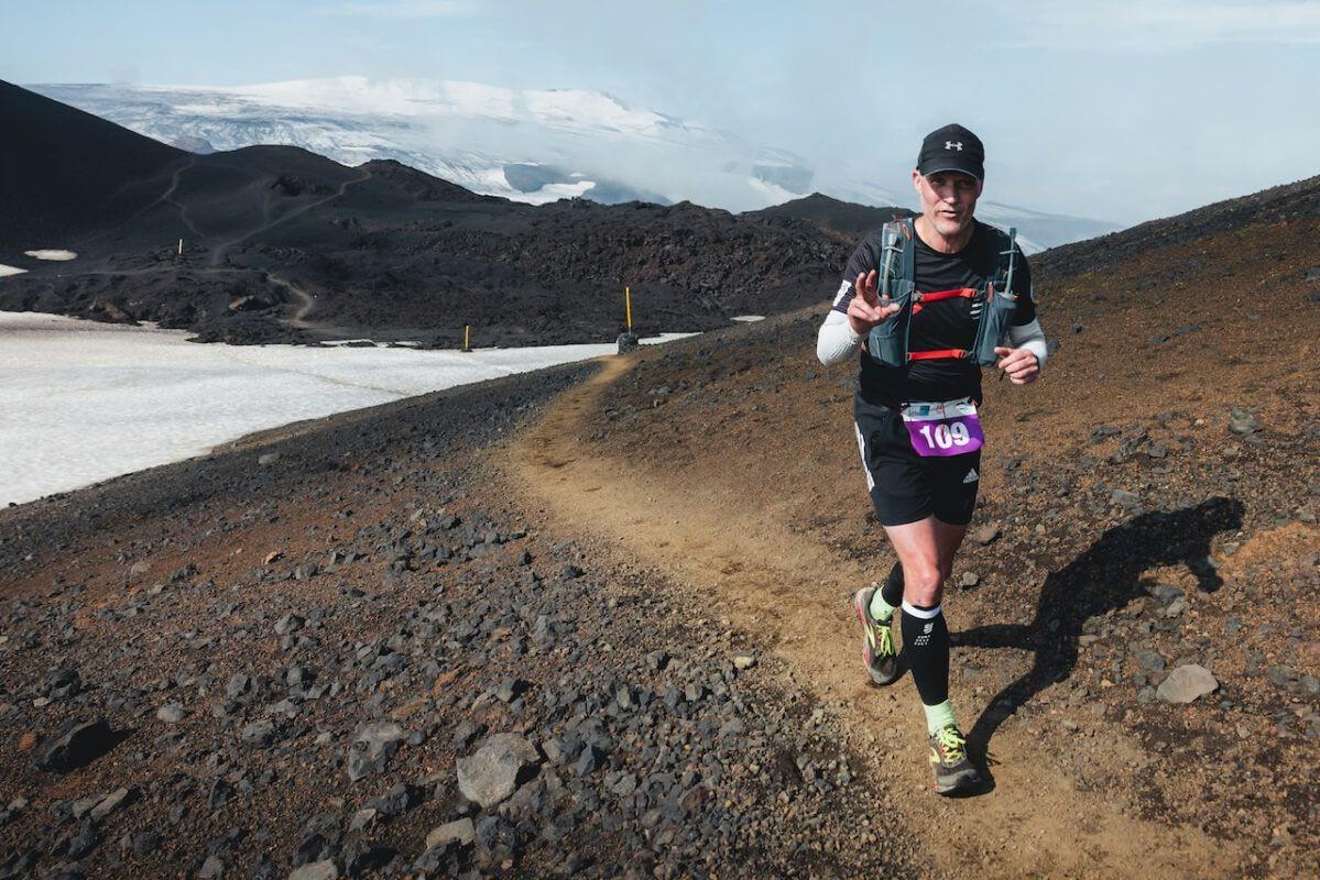
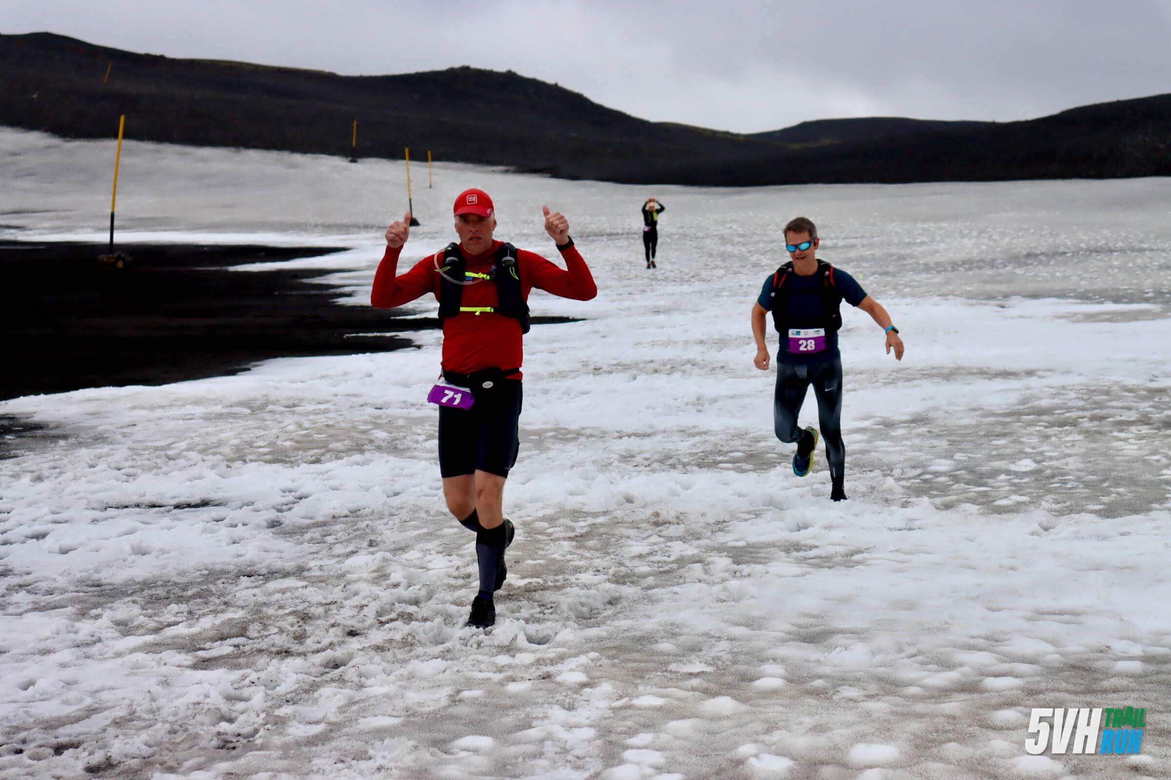
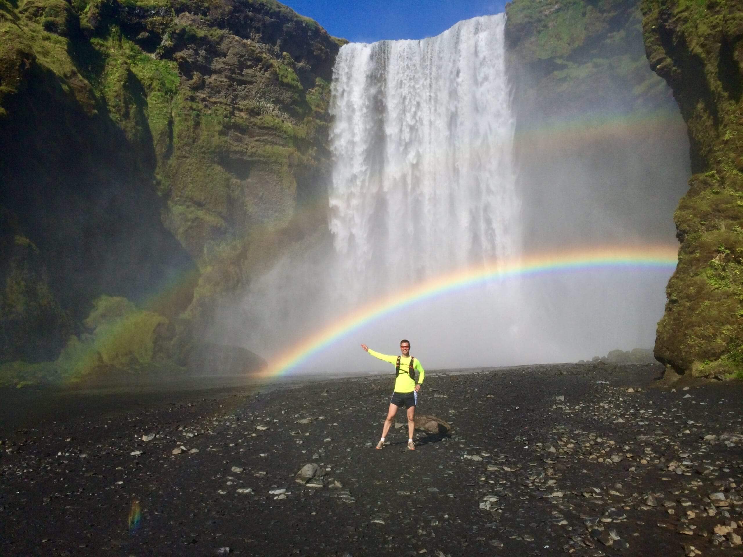
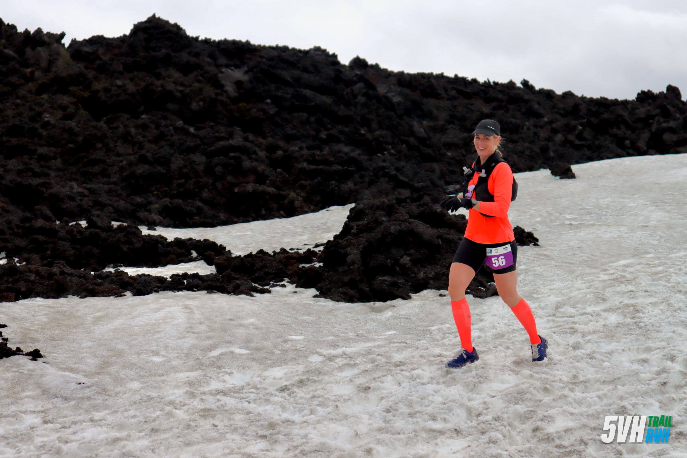
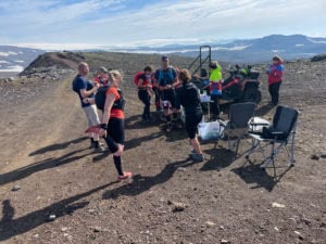
The race begins at the majestic Skógarfoss waterfall, where you'll ascend dirt trails alongside the river, encountering numerous waterfalls along the way. After reaching an elevation of 1,000 meters, you'll find the first aid station at Baldvinsskáli before continuing your run on the glacier of Eyjafjallajökull.
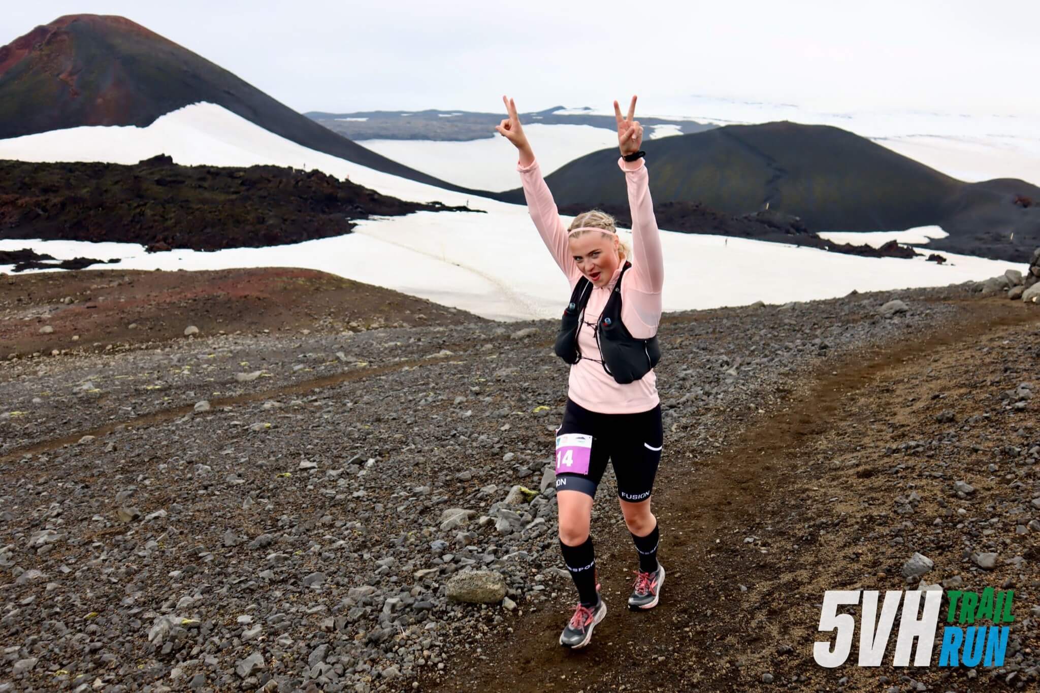
In 2010, the global travel industry was brought to a standstill when Eyjafjallajökull erupted, sending ash clouds across the skies. As you navigate this course, you’ll run through the lava fields formed during that eruption, passing by the volcanoes Magni and Móði.
Next, you’ll descend into the enchanting, lush green mountains of the Valley of Thor, where the breathtaking views will captivate you. Upon reaching Strákagil, you’ll find the second aid station. The final stretch to Húsadal is relatively flat, as you cross the famous Krossá River via a footbridge, concluding your run at Volcano Huts in Húsadal.
Who is fit
for this race?
Q&A
Yes, 7 hours. The race must be finished before 16:00.
It really depends on the individual, although most people find the backpacks more comfortable and have more space. All in all, for shorter runs in good weather it is enough to wear a running belt, but for winter runs it is good to have a running backpack and keep an extra hat and mittens as well as some energy in the bag.
Street running shoes are sufficient in many cases, but we recommend that people invest in natural running shoes (trail shoes or off-road shoes). Nature running shoes are designed to provide good protection for the feet and grip better on e.g. wet stones, mud or loose gravel. In such cases, they are essential safety equipment.
5VH Trail Run